Throughout the time I spent celebrating the Bicentennial of Illinois, I came to appreciate the vastness of what Illinois offers.
With summertime at hand, I felt it was a good time for a vacation and soak in more of Illinois. And with summertime a great time for going into the great outdoors, I decided to vacation in one of Illinois's great natural treasures: the Shawnee National Forest, in southern Illinois, which I drove through last summer during a weekend road trip that took me way down south in Illinois.
But rather than head straight down to Shawnee country, I went on a more circuitous route south, on one of Illinois's great cultural treasures: Historic US Route 66.
Typically, when I go to work, I drive on a short segment of US 66 along Odgen in southern Berwyn to Harlem and Joliet. So when I headed out in Avila on the morning of Monday, August 10, 2020, it was very much like I was heading to work.
I meandered a little over to Lombard Avenue, the border between Berwyn and Cicero. Around 10:34 AM CDT, I reached Ogden Avenue, and turned right, heading into a southwesterly direction to begin my Route 66 journey of the day. (Just so you know, all times in this post are CDT.) My aim was to see what it would be like to drive Route 66 through Illinois (except for the stretch in Chicago and Cicero) all the way to the Mississippi River. I figured it would be a good test run for when I get the opportunity to drive the entire route from Chicago at Lake Michigan to Santa Monica at the Pacific Ocean.
A few years ago, I traveled on Route 66 to Pontiac with my parents on a day trip there, so I was familiar with about 100 miles, give or take, of the route. Back then, I had turn-by-turn directions handy, yet it seemed that Dad effortlessly made the turns as we rode along.
I followed Route 66 from Odgen to Joliet Road, which eventually fed onto I-55 for a few miles, before getting off again. Right after passing the White Fence Farm restaurant, I got on IL Route 53, and stayed on it for a while.
 |
| Here's signage in downtown Joliet on Ottawa Street, just north of the intersection with Jefferson Street, part of the alignment for the Lincoln Highway. The Will County Courthouse appears to the left in the photo. All photos in the post are mine. |
South of Joliet, I felt a stirring inside me to pull off and visit my Grandfather Martin at Abraham Lincoln National Cemetery, south of Elwood.
 |
| In the center of this photo appears my Grandfather's grave, right below the US flag I'm holding, the same US flag I took with me to World Youth Day 2019 in Panama. |
It seemed especially fitting as we mark 75 years in 2020 since the conclusion of World War II in the Pacific Theater, where my Grandpa was in combat action while serving in the US Navy.
Continuing south, I stopped in Wilmington for photos at the Gemini Giant Launching Pad Drive-in. The photo below shows the Gemini Giant.

Then, I came to Braidwood, and when I saw the Polk-a-Dot Drive-in--please see in the photo below--I figured it was a suitable spot for lunch in the 12:00 hour.

I got a chicken sandwich there. It was a fine, warm summer day sitting outside enjoying my lunch.
Heading south, I eventually came to the end of IL 53, and then started following frontage roads along I-55. I drove on a Memory Lane section from the 1920's at Lexington, which is in the photo below.

That town brought back memories of two years ago, when I stopped for lunch there at the Shake Shack.
I also saw some Historic US 66 displays, including in Towanda, with signage at a section of the original pavement from the 1920's.


Following Route 66 got more interesting when I arrived in the Bloomington-Normal area, but I was able to stay on course by following the brown signs as I navigated the city streets.
I stopped in Atlanta to get some photos, and go inside a gift shop.
 |
| Above is a mural in Atlanta, marking it as the midpoint of Route 66 in Illinois. Below is a mural showing all of Route 66, on the same block. |

Since Atlanta is the midpoint of the Illinois section of Route 66, it seemed even more fitting to pause my journey there. While inside, the hot summer day was interrupted by a significant derecho storm event. As I saw the clouds cover the sky, the wind pick up, and then the rain fall, I got back in Avila and continued south. Soon, a driving rain pelted down. It lightened a bit by the time I reached Lincoln, and the rain was even lighter by the time I reached Springfield, around 5 PM. I stopped for a photo by the Lincoln Presidential Museum, recalling a memorable visit there 15 years ago, a few months after it first opened. Also in Springfield, I stopped at the Cozy Dog Drive-In on the south side and bought a couple of postcards.
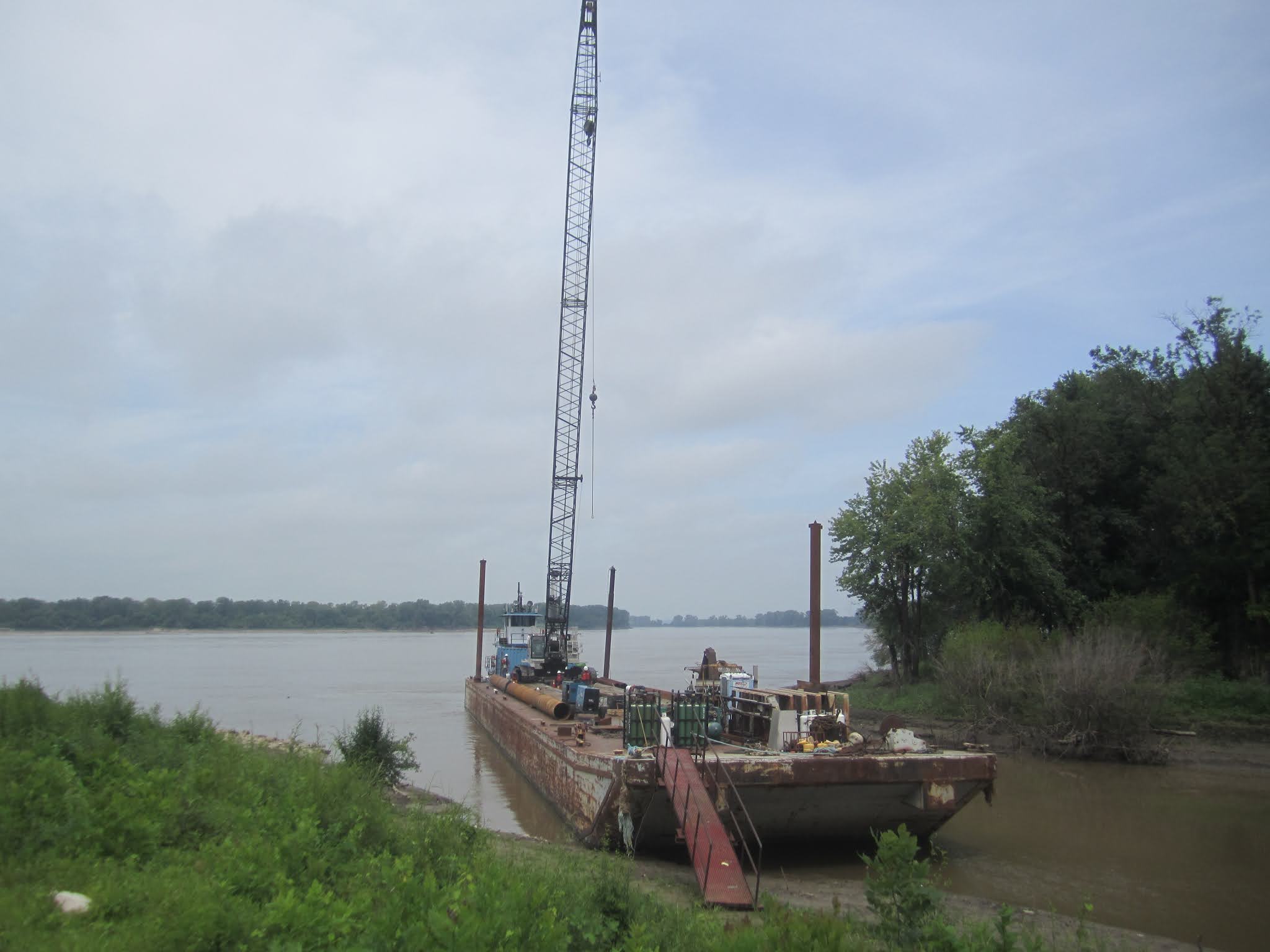
The rain had totally stopped as I continued south of Springfield. Out in the wide open farm fields astride the frontage road along I-55, I could see distinct storm clouds on the horizon toward the west, which you can see in the two photos below.


 |
| Here's one of the famed Meramec Caverns ads along Route 66. This one is along the I-55 frontage road, most likely north of Litchfield. |
By the time I reached Litchfield, it was raining heavily again, and it continued as I neared the St. Louis Metro East area. I eventually deviated away from I-55, following IL Route 157 into Edwardsville. Then I went on a short ride on I-270. I got off track from Route 66 because of some confusion with the brown signs, but eventually, I got back to Route 66, and then reached the Illinois endpoint at the Old Chain of Rocks Bridge. To get there, I had to cross over the Chain of Rocks Channel over a one-lane bridge onto Chouteau Island. I had the satisfaction of achieving my goal for the day as I gazed at the bridge. It had been quite a journey through big cities and small towns, through fields and a great dose of 20th Century US culture, on a "road less traveled", and yet still appreciated in a distinct way.
While Route 66 no longer officially exists, it is having quite an afterlife, and still provides so much to experience, as I opened myself to traveling off the Interstate roads and going at a leisurely pace taking the byway route, and uncovering so much about a significant part of US culture.
 |
| The Illinois side of the Old Chain of Rocks Bridge. |
I then went back east to check into my hotel, the EconoLodge in Granite City. By this point, the rain was over, and I could see sunset colors from my hotel room. Then I got on I-270, and headed west over the New Chain of Rocks Bridge into Missouri. To celebrate its statehood day, and its Bicentennial coming up on August 10, 2021, I went to get dinner at the Florissant location of the St. Louis Bread Company, which you can see in the photo below.

(By the way, that's the name given to Panera locations in the St. Louis Metro Area, since the company is headquartered in a St. Louis suburb in Missouri). Then I drove up north a little bit to cross over the Missouri River, and then, after much winding around, I got down south to see the nighttime St. Louis skyline.
The following morning, Tuesday, August 11, I had left the hotel by 10 AM. I drove west to Chouteau Island. I parked, and then walked across the Chain of Rocks Bridge to St. Louis, MO, and back, which was the first time I've ever walked across the Mississippi River, which seemed fitting to do on a historic landmark connected to the famed Route 66. I'm pleased that the bridge still stands as an icon of the historic road at a geographical landmark, and can be used by pedestrians and bicyclists. Below are some photos I took while on the bridge.

 |
| This photo is from near the Missouri edge of the bridge, looking east toward Illinois. You can see the bend in the middle of the bridge. That bend was constructed to make for safer boat navigation on this stretch of the Mississippi River. |
 |
| Appearing faintly off in the distance to the south is the St. Louis skyline |
 |
| Looking north, with the I-270 New Chain of Rocks Bridge off in the distance |
 |
| At the bend in the bridge |
I learned that the name "Chain of Rocks" is from a collection of rocks scattered in that part of the Mississippi River by glacial activity thousands of years ago. They made it difficult for boats to navigate that stretch of the river, which was exacerbated by some water intake facilities built in the river, and eventually, a canal was built to bypass the spot, which created Chouteau Island.
I drove a little bit north to a spot near the Lewis and Clark State Historic Site, located where they had temporary fortifications near the confluence of the Missouri and Mississippi Rivers, where the famed expedition started and ended. The spot I went to provided a view of the Missouri River's mouth. It was great to reconnect with the same memorable trip from 15 years ago when I visited this place.
 |
| Beyond the boat, near the center of the photo, is the mouth of the Missouri River. |
Next, I drove east, stopping on a whim at a farmer's stand to buy produce, before reaching Southern Illinois University Edwardsville, where I walked around in their gardens, of which there are two photos below.
 |
| Japanese gardens |
 |
| Here's a sort of circle gathering area. |
My final stop in the Metro East Area was at the National Shrine of Our Lady of the Snows, where I spent time in prayer at Our Lady of Guadalupe Hill and the Annunciation Garden. It was a quiet, prayerful place for some good spiritual refreshment.
 |
| The Annunciation Garden |
 |
| At Our Lady of Guadalupe Hill |
By 2:30, I was on I-64, headed east. Then I headed south on I-57, and by the 4:00-5:00 hour, I had reached Marion, and checked in at the EconoLodge there. After a little while, I headed west on IL State Route 13. Passing through Carbondale, I thought about my cousin Greg and his family, who spent time here a few years ago as he pursued his doctoral degree. I drove about an hour or so, attempting to reach a spot where I could get views of the Mississippi River. I tried driving on a winding dirt road, and got some views from a bluff. Then I wound my way to Grand Tower, IL, right along the banks of the river, where I caught some views of the sunset sky scene.
 |
| The Mississippi River from a bluff view |
 |
| The Mississippi River from Grand Tower |
The following day, Wednesday, August 12, I got some breakfast at Cracker Barrel. Once finished, I headed west to visit the Crab Orchard National Wildlife Refuge, probably my first time visiting such a refuge. I drove around and stopped a few times to admire the scenery.
 |
| Viewing area |
 |
| View of the eastern area of Crab Orchard Lake |
Then I drove north to Johnston City, IL, where I attended noon Mass at St. Paul's Church. Following Mass, I got on I-57, and then on I-24, all the way to Paducah, where I had lunch at Bob Evan's, around 2 PM. I had eaten at this same restaurant over 9 years ago when out on a field study trip in college. It is across the street from a hotel where we stayed the first night of our 11-day trip. I look forward to enjoying some tasty Bob Evan's food when on a road trip, and this time was no exception.
I gassed up in Paducah, and like in Missouri, prices there were much lower than in Illinois. I then wound my way through Paducah on US Route 45, and then crossed a two-lane bridge back into Illinois, reaching the town of Brookport.
 |
| This is the view of the US 45 Bridge over the Ohio River from the side in Brookport, IL. |
I then went to Metropolis, home of Superman, where I stopped for photos of scenic views along the Ohio River, which are in the two photos directly below.


Then I headed north up US 45, a route I drive during my commute to work, traveling through rural farm areas. I then made my way back to I-57, and then to the Crab Orchard NWR. I found a nice hiking trail by a fishing pond close to the visitors' center in the 6:00 hour. The three photos directly below show views from my hike.


I had to cut my hike short since I was without a rain jacket as heavy rain started. I decided it was a good time for dinner, so I went to Mackie's, a pizza place in Marion. I ordered a cauliflower crust pizza, which had a distinct and delightful taste, as is shown in the photo below.

When I finished dinner, the rain had slowed. I drove to take in the scenery at two viewing spots in the Crab Orchard NWR. At the second, I saw a spectacular sunset to the west, and a double rainbow in the opposite part of the sky, which are in the two photos directly below.


The subsequent day, Thursday, after breakfast, I headed west, and went to hike on a portion of the Little Grand Canyon Trail, to a place where I could take in scenic views.
 |
| The photos directly above and below show views from a scenic vantage point on the trail, looking in a westerly direction. |

 |
| Directly above and below are photos of the Little Grand Canyon Trail. Above shows a turn at the scenic viewing point: to the left is the arduous part of the trail leading to the river level below. |

Then, around 1 PM, I went south to visit once again the Bald Knob Cross, which is in the photo below. I delighted in returning to this place I had visited last summer to take in the amazing views and be in a prayerful, peaceful setting with stunning views of the surrounding area of southern Illinois.

Next, I went to the Inspiration Point Trail, which had views from atop bluffs, as is shown in the photo below.

I stopped in Alto Pass for a quick sandwich meal before continuing in an easterly direction. After driving nearly an hour or so, I reached the Garden of the Gods, a spectacularly scenic area with distinct sandstone rock formations, including Camel Rock, which is shown in the photo directly below.

 |
| Here are some rock formations as seen on the trail on the short walk from the sparkling lot to the spot where I saw the view in the other photo above. |
I didn't spend too long there because of wet conditions, but got some great views. Then I drove a short distance east to High Point, up high on a hill, and got this great view of the sun heading toward its setting as it broke through rain clouds:

With that, I made my way back to Marion, arriving just after 7:30. I stopped at Tequila's near my hotel to get dinner: carnitas.
 |
| View of the sunset looking west on Illinois State Route 13, between Marion and Harrisburg |
After returning to the hotel and spending some time in the pool, at 9 PM, I joined my friend's Bible study gathering based in California via Zoom.
The next day, Friday, August 14, was my day of departure. I stopped for some quick shopping at the nearby Kroger. Then I drove north to Johnston City to get breakfast at Dairy Queen: The pancakes and the biscuits with gravy were good. I found a park to enjoy breakfast. By 11 AM, I was on my way north on I-57. I stopped in Effingham to visit the Cross at the Crossroads, which I had visited last summer. Once again, I appreciated the opportunity to be in a prayerful place, with a soaring cross that is awe-inspiring.
 |
| The Cross is in the background, and in the foreground is the scene of the Nativity of Jesus Christ, with the Virgin Mary and St. Joseph. |
I made some brief stops along the way while driving on I-57 and arrived back in Oak Park around 4 PM.
In the midst of these abnormal times, going out on a journey conjured up so much excitement. And going into nature was so refreshing as I hiked aroudn and gazed at the splendor of the natural landscapes. And once again, I had a great opportunity during this week to appreciate what Illinois has to offer with culture and nature, by going at a different pace to be present in it. There is indeed so much to appreciate in the land. A trip that took me into southern Illinois last summer gave me a good taste of the Shawnee National Forest area, and so I was glad for the chance to soak in more of it. It's amazing to think that all these wonderful sites are so close to home, and I feel it is as much a part of my sense of Illinois as the places in Oak Park and Chicagoland. I was also able to connect in so many ways with other people I know and experiences of the past, and add to them my own new experiences that I had during this weeklong trip.
Like all trips I've had, I got a new lease on life going out for a week, to put myself into new places in a new light to receive what they have to offer me, even a greater appreciation for a sort of simplicity in life.


